The Davidson Dreamer
Brevard, North Carolina
Developed by Rockgeist Bikepack USA
Words by Laura, Photos by Jen

Stats
42 miles, 3,811 ft elevation gain, 90 ft/mi. Route strongly recommended counter clockwise as shown.
Difficulty
Intermediate. Terrain is mostly smooth with a few steeper sections of singletrack. A few stout climbs, but easy logistics and route finding.
Terrain, Bike Choice
70% unpaved, 5% singletrack trails, 100% rideable. Bike rank: Rigid MTB, hardtail, large tire gravel bike.
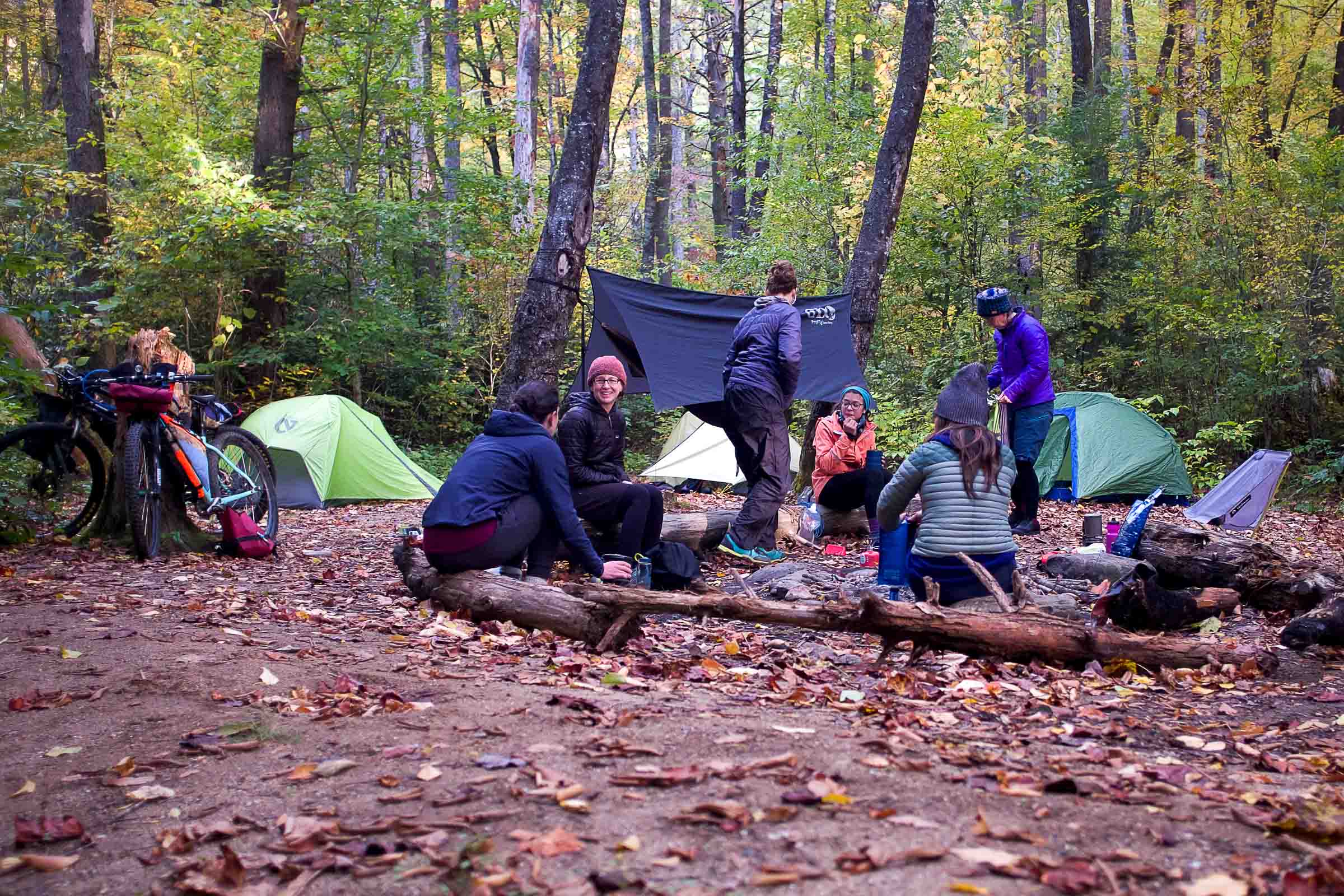
Camping
Primitive, backcountry camping (no reservations needed). Respect any fire bans.
Number of Nights
1 night ideal
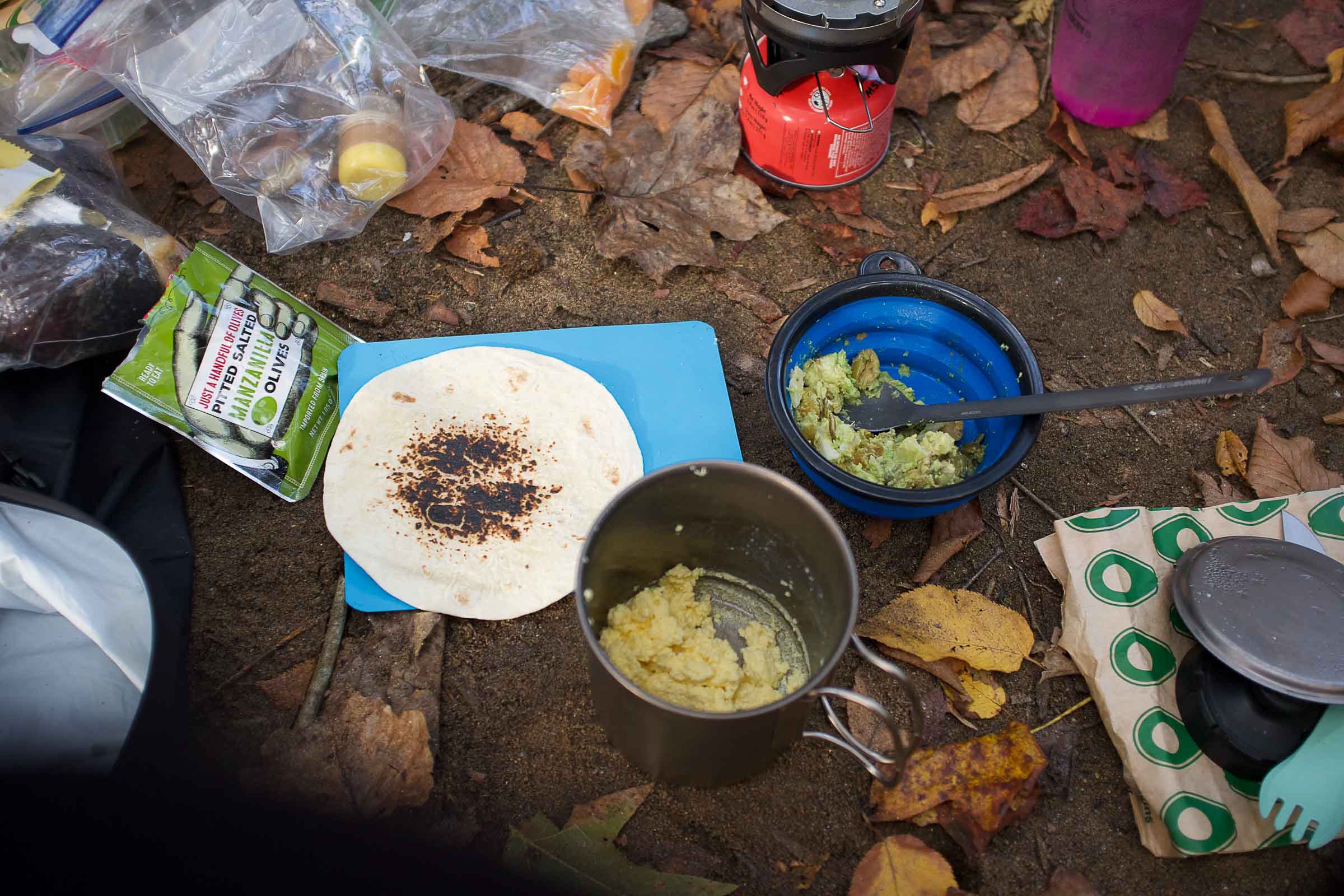
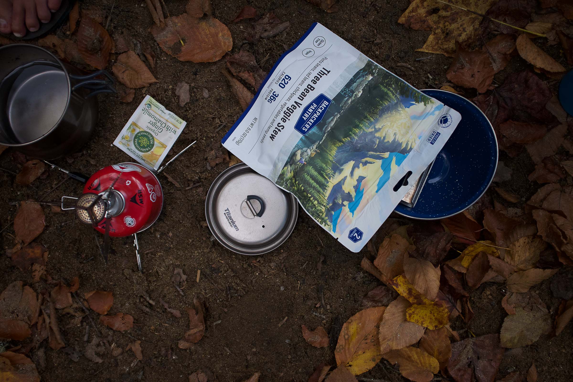
Food & Water
Plenty of places to filter water. Fresh water at the Cradle of Forestry, with a small detour. Ecusta Brewing for a beer and snacks on day 2.
Bikepacking The Davidson Dreamer
This ride starts in the city of Brevard, follows along the city greenways and into Pisgah National Forest. Anytime spent in Pisgah is magical, and this route is an accessible overnight bikepacking trip that gives riders access to beautiful mountain views, scenic river campsites, and optional side trips to waterfalls or the McCall family cemetery.
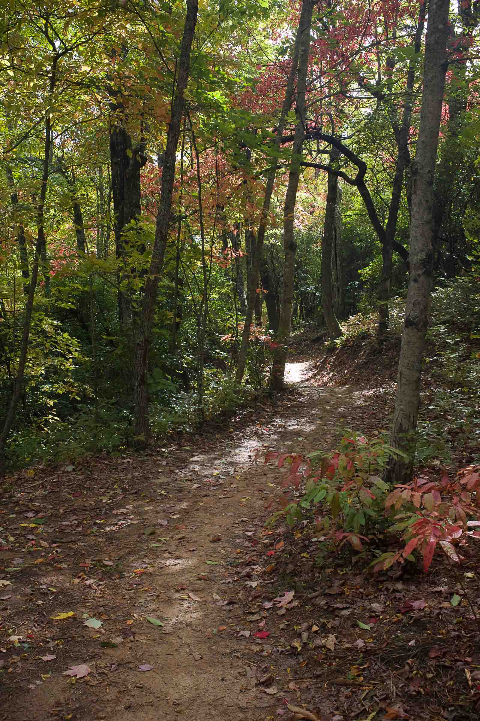
Of this 42 mile route, there are only 13 miles on pavement, many of those are on a greenway. The dirt sections are gravel or smooth singletrack. Trail sections offer some fast fun downhill, but riders should be comfortable maneuvering downhill switchbacks with a loaded bike, or be comfortable dismounting.
There is a total of 3,700 ft of climbing over the two-day ride, but riders will be rewarded with beautiful ridge views in the fall, or refreshing cool downs in the river during the summer.
Highlights
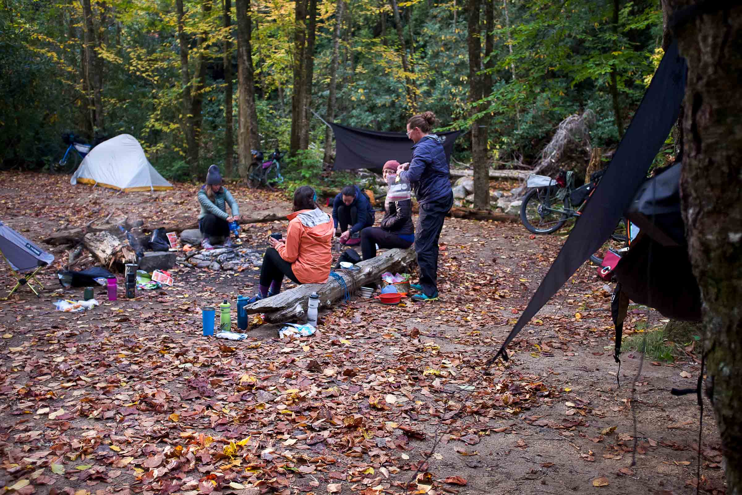
- Camping on the Davidson River
- Toms Spring Falls side hike
- McCall family cemetery add-on ride
- Burritos and Beers at Ecusta Brewing Company
- Brevard Area Trail System
- Cradle of Forestry Heritage Site
- Fun singletrack on Stony Knob
Trip Beta
Day 1
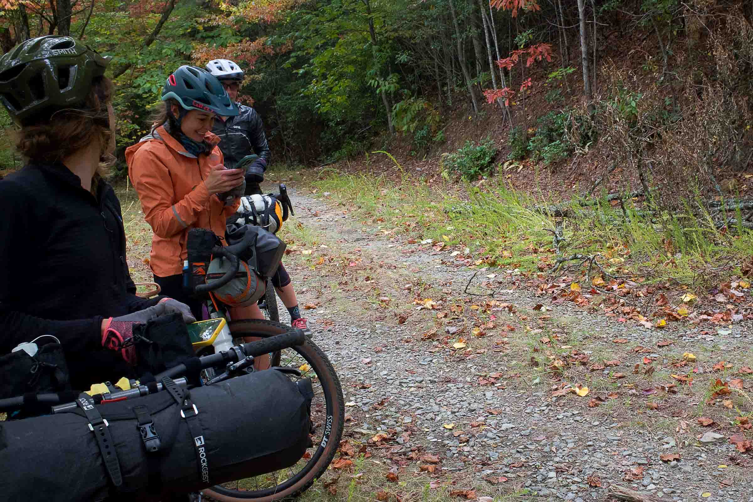
The ride begins in Brevard with a 5 mile ride on city greenways before heading into the forest. There is a short stretch on 276 that is paved and can have some quick moving traffic. 477, or Avery Creek Road, is gravel and is the start of a substantial climb. At club gap the road descends down to another short stretch on 276. (From here, you can make a short detour to visit the Cradle of Forestry). The route continues on 475b, another gravel road. This road climbs for a short distance before descending along the road next to Rock House creek. Turn right onto 475b, then left onto Davidson River trail, behind a metal gate to the left of the road. This section is about a mile and a quarter of smooth scenic singletrack. Take a left onto 475 and head to the Daniel Ridge trailhead. Turn right and go behind the gate, stay left and look for sites to the left along the river. From camp, there is a nice hike over to Tom spring falls, or a bike ride to the McCall family cemetery, located off of Cemetery Loop/475D.
To shorten the ride, camping can be found along Headwaters Rd, before reaching 475.
Day 2
Day two starts by returning to Davidson River Trail, continuing on 475 and turning right at The Fish Hatchery. 475c is a grassy gravel climb that dead ends into Stony Knob Trail. This singletrack has some fast and flowy downhill with a few tight switchbacks. Stony Knob runs into Joel Branch Rd, another wide grassy gravel road. This road pops out at Davidson river campground. Take a right to revisit the dirt trail that leads to the start of the paved greenway. Retrace the route from Day One back to the parking area.
Camping & Overnight Parking
- An option for overnight parking is at the Depot Railroad Ave Park, located at 390 Railroad Ave. in Brevard. The large parking area has easy access to the Estatoe Trail system and bathrooms with running, drinkable water.
- Multiple options for camping are available along the Davidson River. Some options are off of 475, turn onto Lanning Ridge Rd (Behind the gate at Daniel Ridge Trailhead Parking) Stay left and look for sites on the left next to the river.
- If the first day needs to be cut short, camping can also be found along Headwaters Road.
- Camping is primitive and LNT. Respect any fire bans.
- Black bears are native and common. Hang all food and smellables at night and when out of camp.
Additional Information
- When to go: Accessible all times of the year. Autumn rides provide beautiful leafy views, Summer rides can include time spent at the river or waterfalls. There are no wet crossings, so this route would be good in the winter too.
- Logistics: No permit requirements. Parking at the start of the route has a public bathroom and running water and is along a greenway.
- Dangers and Annoyances: Hunting is permitted in the forest, so wear orange during hunting season (usually mid Oct-Feb). Summer time tends to be busier and more traffic. Be cautious and wear blinking lights for the paved sections on 276.

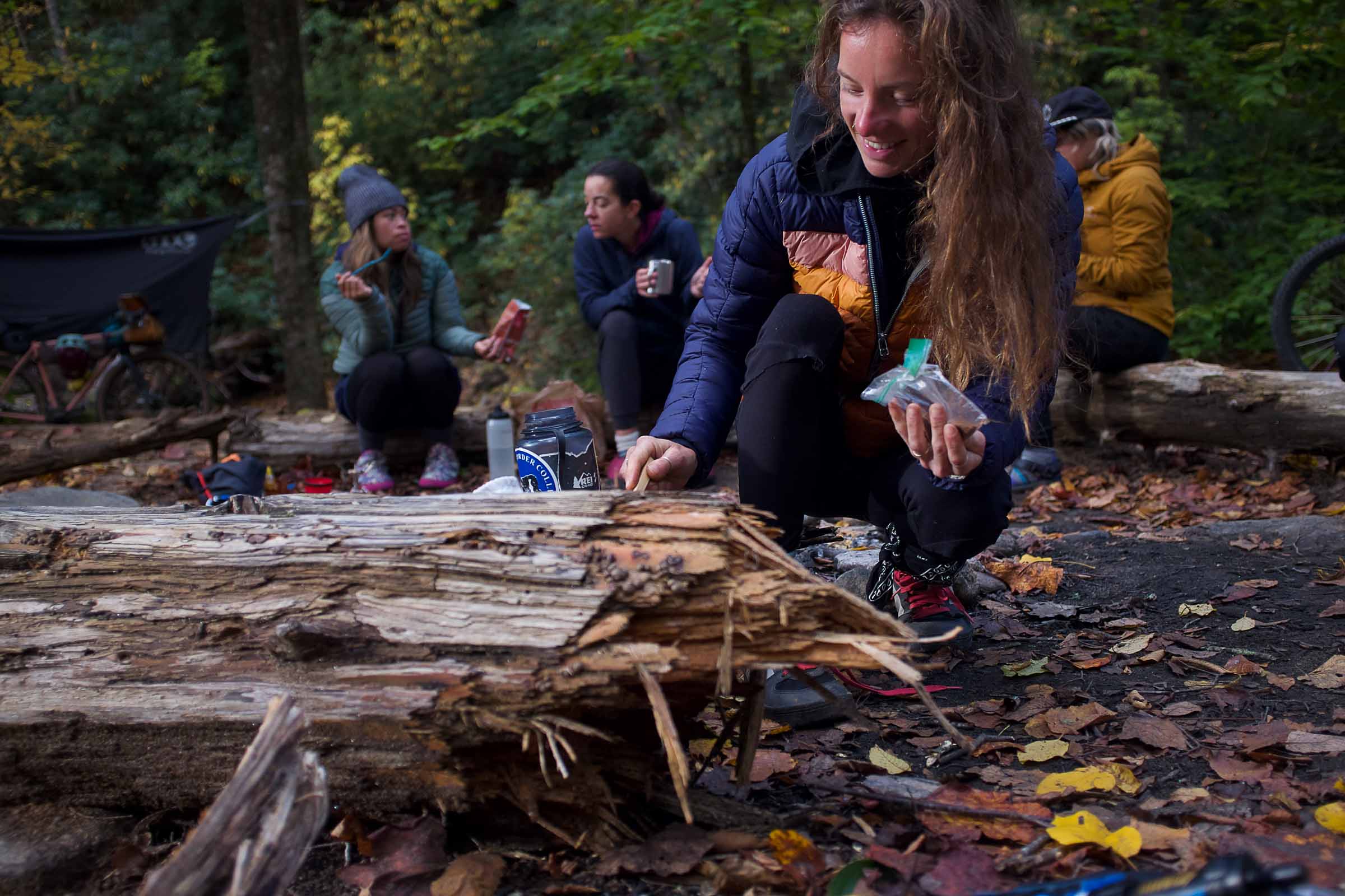
In Collaboration with Dirt Skrrts
This overnight was created for the Fall 2023 Rockgeist and Dirt Skrrt Overnight Campout. Rock Geist works with the Blue Ridge Dirt Skrrts to host accessible overnight bikepacking trips multiple times a year for women. Founded in 2021, Blue Ridge Dirt Skrrts is a 501(c)(3) organization in Western North Carolina with a simple goal—to get more women on mountain bikes.


Terms: Routes on Rockgeist.com are partial planning resources only, primarily for providing potential locations and initial mapping, and may not cover trail surface and challenge details. Please complete your own research before starting your trip. These routes are often remote and require proper knowledge of safety; including bike repair, bail out options, navigation, and resupply locations. Additionally, because of the remote nature of these locations, you may not have access to wireless or cellphone when onsite. You should also be aware of and prepared for weather and conditions. Users are required to obey all road, land, and trail rules, while practicing Leave No Trace principles. While all routes are diligently prepared and presented, Rockgeist does not guarantee accuracy of routes, trail conditions, or any points of interest detailed herein. It is your intention to fully assume all risks when following these routes. Rockgeist LLC, its collaborators, partners, or volunteers are in no way liable for actions, personal injury, damage to property, or any events that arise directly or indirectly from the routes presented on Rockgeist.com.
0 Comments