
Stats
74 miles, 7,850 ft elevation gain, 107 ft/mi. Route strongly recommended counter clockwise as shown.
Difficulty
Challenging due to distance, sections of hike-a-bike, remote trail, chance of extreme weather.
Terrain, Bike Choice
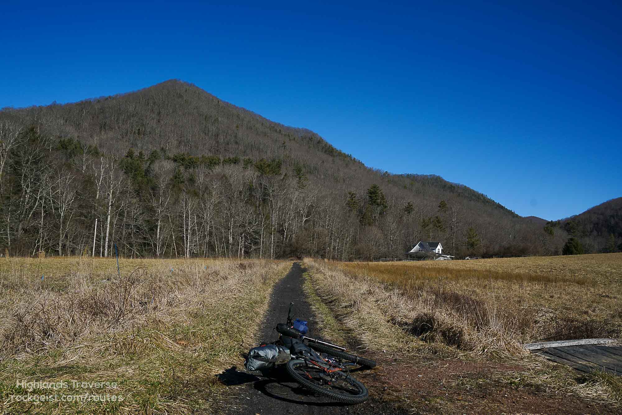
Singletrack, double track, gravel, pavement. Preferred bike rank: Hardtail, Rigid MTB, Full Suspension.
Camping
Primitive, backcountry camping (no reservations needed) with long-range views and wild ponies.
Number of Nights
1 night ideal, 2 nights for a slower pace (no good re-supply for second night)
Food & Water
Resupply options on day 1, nothing convenient on day 2. Plenty of water to filter.
Bikepacking the Highlands Traverse
Highlights
- Beautiful river-sdie riding on the Virginia Creeper Trail
- Big views and wild ponies in the Highlands!
- Techy ridge top singletrack on Iron Mountain Trail
Trip Beta
The only overnight parking available is the backpackers lot in front of the Damascus Library. Please register your vehicle with the town prior to parking here.
Hop onto the Creeper heading toward Whitetop. Depending on the days of the week and season there are several eatery’s along the trail. Once reaching Whitetop you’ll take a paved road to the entrance of Grayson Highlands State Park. No need to pay an entrance fee as you’ll be passing through and camping beyond the park boundary.
Continue through the park until reaching the campground. Here is a bathroom with water located just behind it. Also there is a small seasonal camp store. Across from the store the route jumps back on dirt. Follow Seed Orchard to the Virginia Highlands Horse Trail. You’ll encounter some rocky terrain and short sections of hike-a-bike until you reach your first camping options where the AT crosses your path. Continuing on you’ll then hit the Crest Trail and will require hike-a-bike to the high point of the route (over 5400 ft). The payoff is reaching a beautiful camp spot near Rhododendron Gap.
The next morning continue descending along the Crest trail until reaching the Scales and eventually making your way to Iron Mountain Trail (IMT). The route will soon pass cherry tree shelter which is a old Appalachian Trail shelter. This is a great spot to camp if looking to make the route multiple days. From the shelter the IMT alternates between double track and singletrack all the way towards Damascus. Follow the IMT up and down ridge lines with a little hike-a-bike sprinkled in until reaching the steep descent on Beech Grove Trail. Enjoy your well earned cruise down the Creeper Trail back into Damascus. There’s a small brewery in Damascus as well as several trailside restaurants with decent food and drink options.
Additional Information
- Sections of this route are remote. Make sure to bring a water filter and the necessary tools to repair common bike problems.
- While some sections are gravel and paved, this is no doubt a mountain bike route and the terrain will require short sections of hike-a-bike.
- Make sure to only park at the backpackers lot in front of the Damascus library. This is the only legal overnight parking in town and you will be towed otherwise. Please register your vehicle with the town prior to parking.
- Almost all the trails on this route are horse legal and depending on the amount of rain or the amount of horses the trails can be torn up in places. Moto‘s are also legal on sections of the Iron Mountain Trail.
- The Virginia high country can have cold temps and crazy weather even in the summertime. It is not uncommon for the temperatures to be in the low 40s up high during summer.

Route Submitted By Sean Wiggins
Sean’s been bikepacking for 14 years, highlight trips have been in Iceland, and a chunk of the Continental Divide Trail in New Mexico. Currently, Sean is planning on riding the Arizona Trail next year. When he’s not riding he’s pouring over maps looking to create great routes.


Terms: Routes on Rockgeist.com are partial planning resources only, primarily for providing potential locations and initial mapping, and may not cover trail surface and challenge details. Please complete your own research before starting your trip. These routes are often remote and require proper knowledge of safety; including bike repair, bail out options, navigation, and resupply locations. Additionally, because of the remote nature of these locations, you may not have access to wireless or cellphone when onsite. You should also be aware of and prepared for weather and conditions. Users are required to obey all road, land, and trail rules, while practicing Leave No Trace principles. While all routes are diligently prepared and presented, Rockgeist does not guarantee accuracy of routes, trail conditions, or any points of interest detailed herein. It is your intention to fully assume all risks when following these routes. Rockgeist LLC, its collaborators, partners, or volunteers are in no way liable for actions, personal injury, damage to property, or any events that arise directly or indirectly from the routes presented on Rockgeist.com.
0 Comments