BACKROADS OF MADISON COUNTY
Asheville, North Carolina
Developed by Rockgeist Bikepack USA

Stats
62 miles, 5,880 ft elevation gain, 95 ft/mi. Route ridden clockwise on the first part of the figure eight.
Difficulty
Intermediate due to section of rough gravel, and distance.
Terrain
Country roads with a little gravel. Preferred bike rank: Gravel bike, Rigid MTB.
Camping
Established camp site on French Broad River. Reservations required.
Number of Nights
1 night.
Food & Water
Good resupply in the town of Marshall on the morning of day 2. Plenty of spigots and options to filter water.
Bikepacking Back Roads of Madison County
The Backroads of Madison County route takes you on a rolling exploration of the countryside just out the front door of Rockgeist world headquarters. This mostly paved route has a few gravel sections, and one somewhat technical gravel “road” mountain traverse. A reserved riverside campsite with a covered table, fire ring, and composting toilet is a real treat at the end of the single night trip.
Highlights
- Rolling backcountry roads
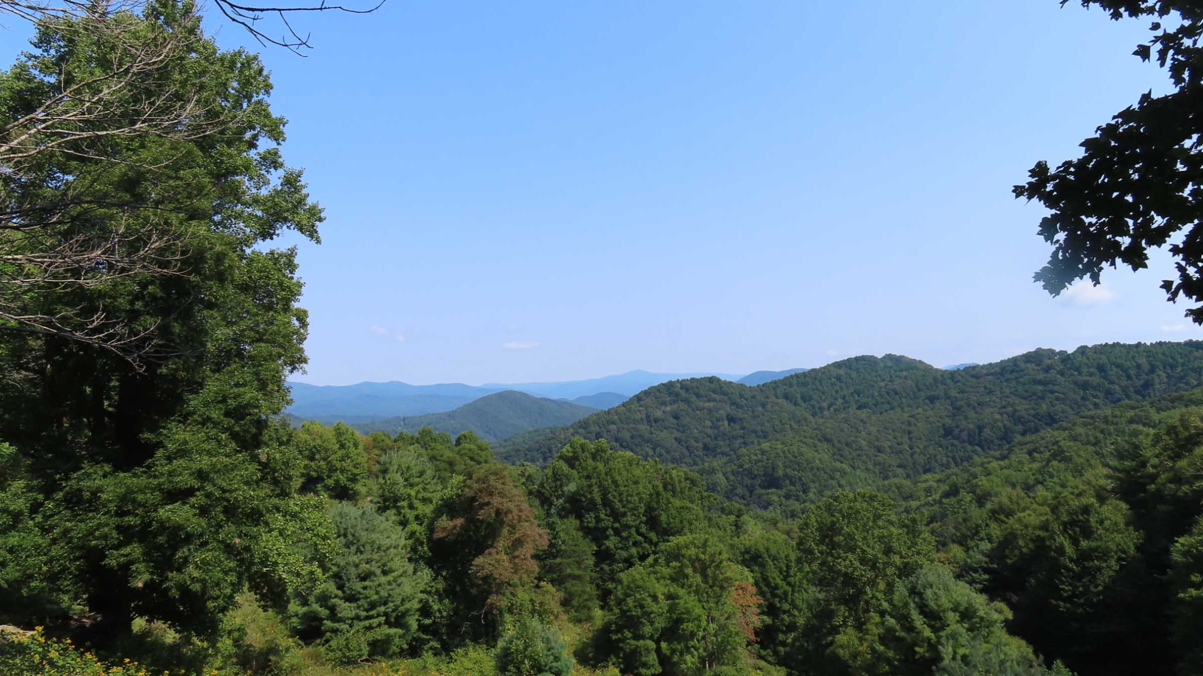
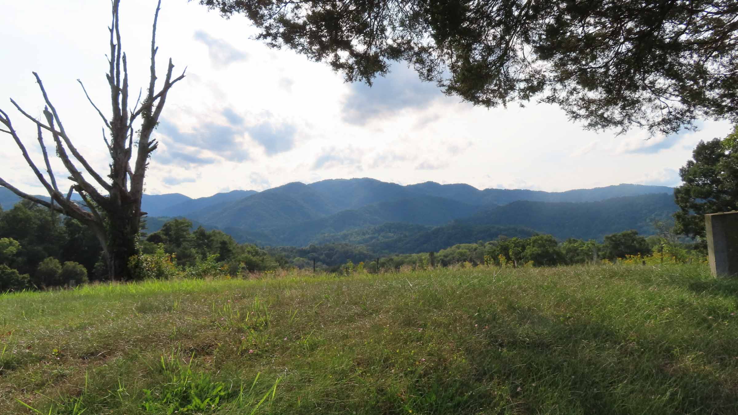
- Long-range mountain vistas
- Camping on the French Broad River
- Cafe breakfast in downtown Marshall
Trip Beta
Start your adventure by parking in the lot near the covered tables, halfway between High Five Coffee shop and the Rockgeist workshop. Drop us an email [email protected], so we can confirm your car is not abandoned, if the question should arise. Coffee shop, bathroom, rental gear, and GO!
At 7.5 miles, dip into the C-store at the turn and grab a beverage to toast the first eight miles. After the jolting climb at mile twenty, take a break and respectfully hike up to the top of the cemetery for 360 degree mountain vistas.
Since there is no potable water at the campsite stop at the church (mile 27.5) and fill your water for the night. It’s an easy coast two miles into camp from here. Before you start the climb on day two, warm up by cruising across the river to the public boat launch, and unload your trash/recycling in the bear proof receptacles. The church right next to the road at mile 30.9, has a water spigot on the parking lot side of the building.
The turn onto Farmers Mtn Rd looks like someone’s driveway. Trust the line on your device. The next mile and a half is rideable, but bring your A-game. For the rest of us, enjoy the secluded wildlife filled hike to the top. Once over the top, the adventure continues, as you descend the backside on very steep gravel. Be extremely aware in this section, as you may encounter vehicles coming up, and you’ll find plenty of speed with gravity on your side.
One more kicker of a climb at mile 40, then roll on into Marshall to hit up one of it’s cafes and restaurants. The last sixteen miles you travel along the French Broad River, returning to the start. There are three riverside parks along the way. They offer shaded picnic tables and access to the river. Unfortunately there are no potable water sources.
More East Coast S240 routes can be found on our Routes Page.
Additional Information/Camping:
- Camping reservations are required and can be booked here: https://frenchbroadpaddle.com/product/big-pine/
- Information on downtown Marshall can be found here: https://www.visitmadisoncounty.com/marshall-restaurants-2/


1 Comment
Submit a Comment
Terms: Routes on Rockgeist.com are partial planning resources only, primarily for providing potential locations and initial mapping, and may not cover trail surface and challenge details. Please complete your own research before starting your trip. These routes are often remote and require proper knowledge of safety; including bike repair, bail out options, navigation, and resupply locations. Additionally, because of the remote nature of these locations, you may not have access to wireless or cellphone when onsite. You should also be aware of and prepared for weather and conditions. Users are required to obey all road, land, and trail rules, while practicing Leave No Trace principles. While all routes are diligently prepared and presented, Rockgeist does not guarantee accuracy of routes, trail conditions, or any points of interest detailed herein. It is your intention to fully assume all risks when following these routes. Rockgeist LLC, its collaborators, partners, or volunteers are in no way liable for actions, personal injury, damage to property, or any events that arise directly or indirectly from the routes presented on Rockgeist.com.
Thanks for the great route. I really enjoyed it and provided some videos for those who are interested in the ride.
https://youtu.be/Y5_eKC-FtOY?feature=shared
https://youtu.be/2appehbnglA?feature=shared