828's and Heartbreak
Pisgah National Forest, NC
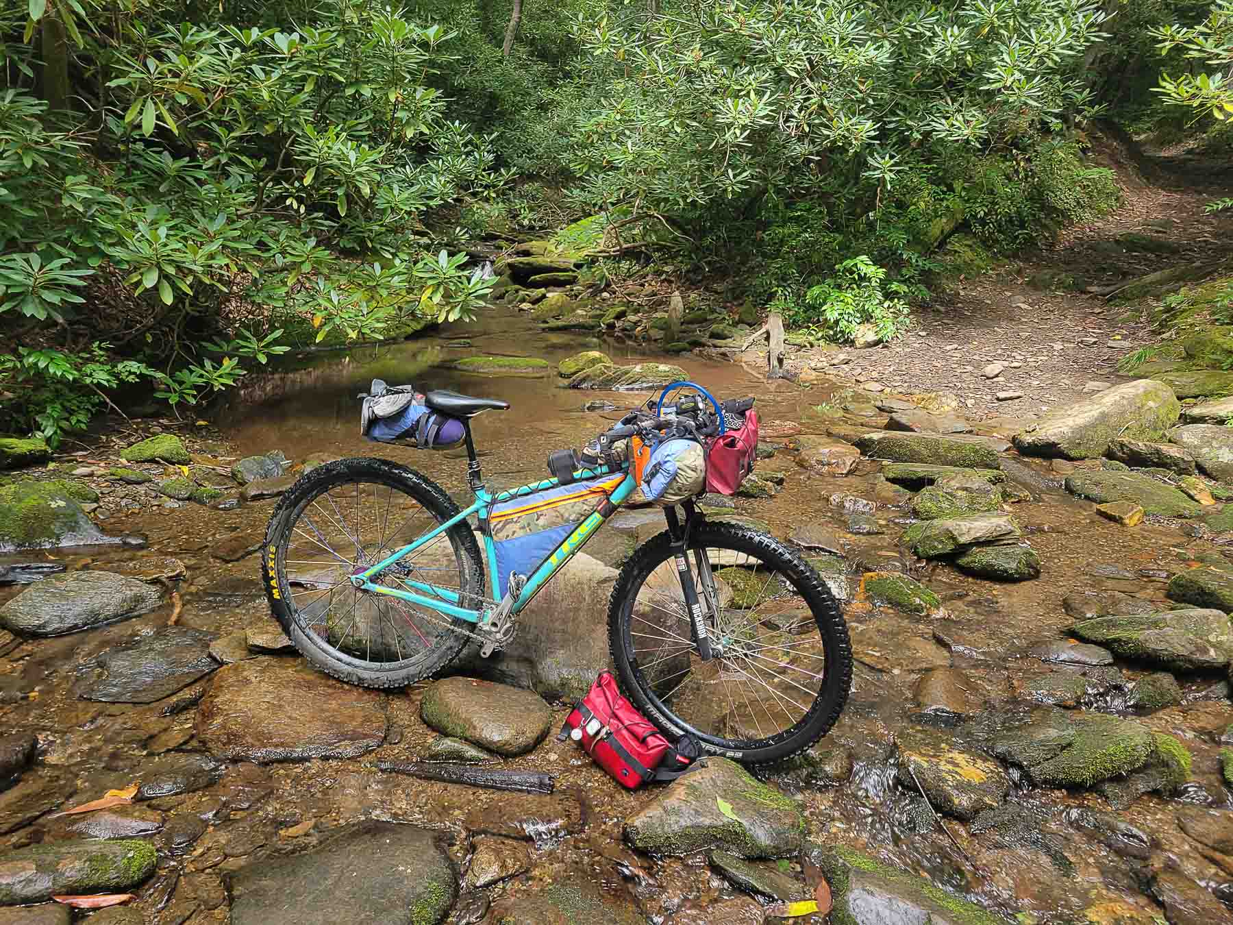
Developed by Rockgeist Bikepack USA
Ridable from Labor Day (early Sept.) to Memorial Day (late May).

Stats
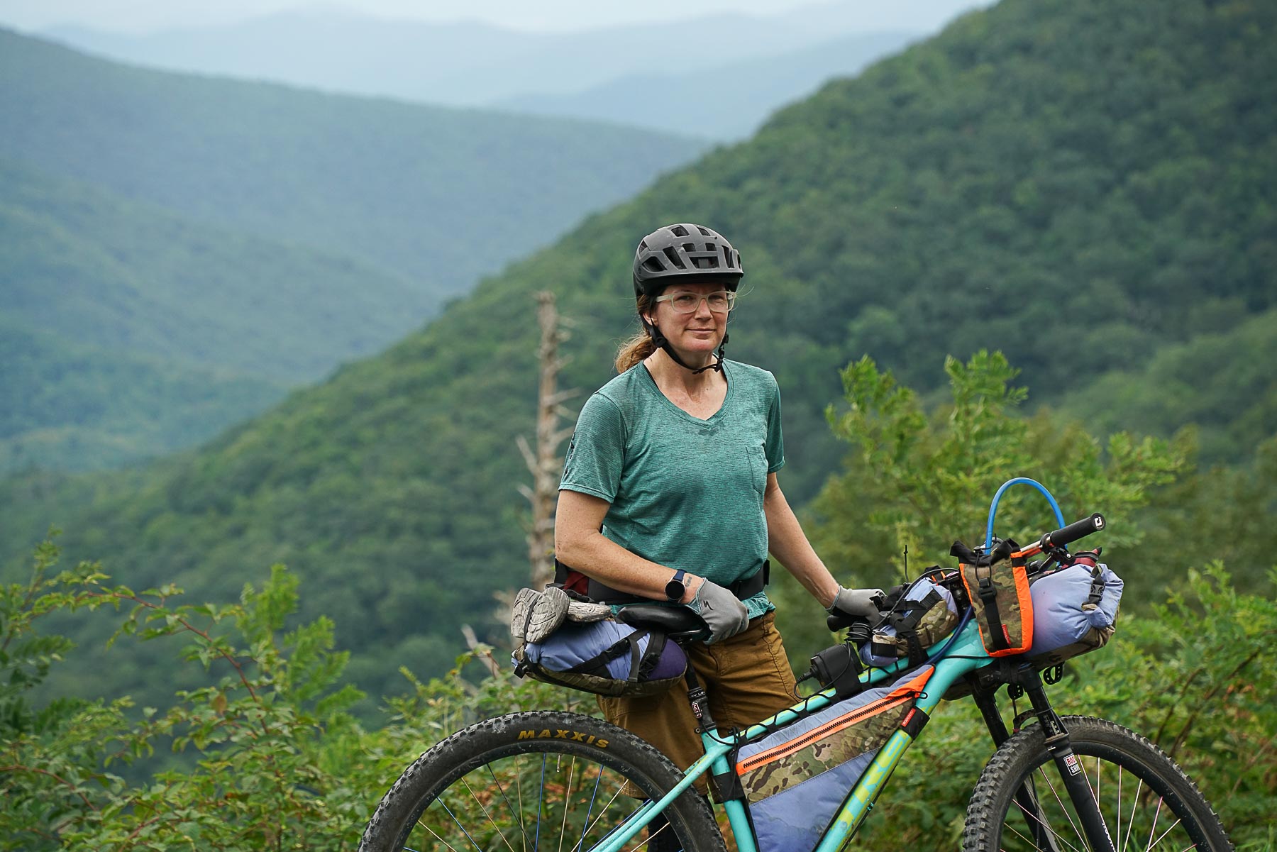
38 miles, 6,189 ft elevation gain, 162 ft/mi. Recommended counter-clockwise direction as shown.
Difficulty
Challenging due to elevation gain, technical/rocky descending
Terrain
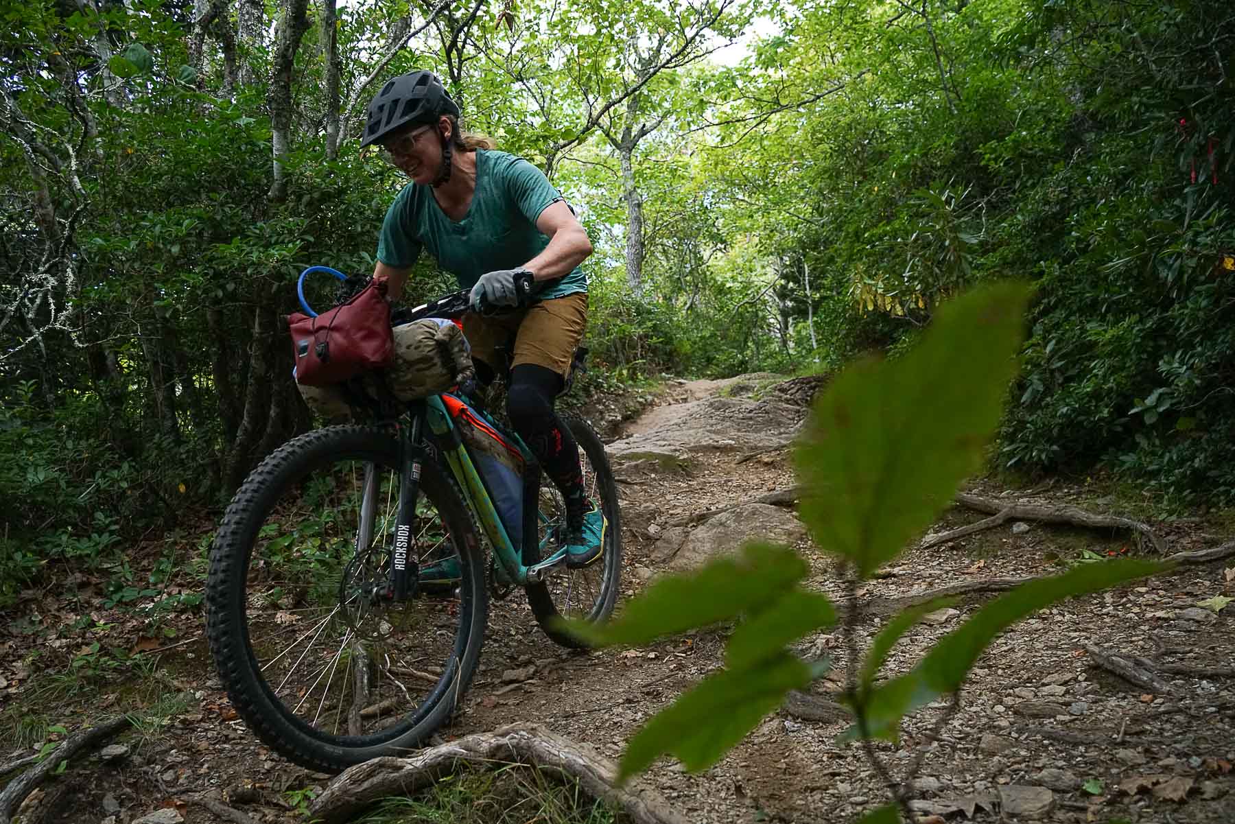
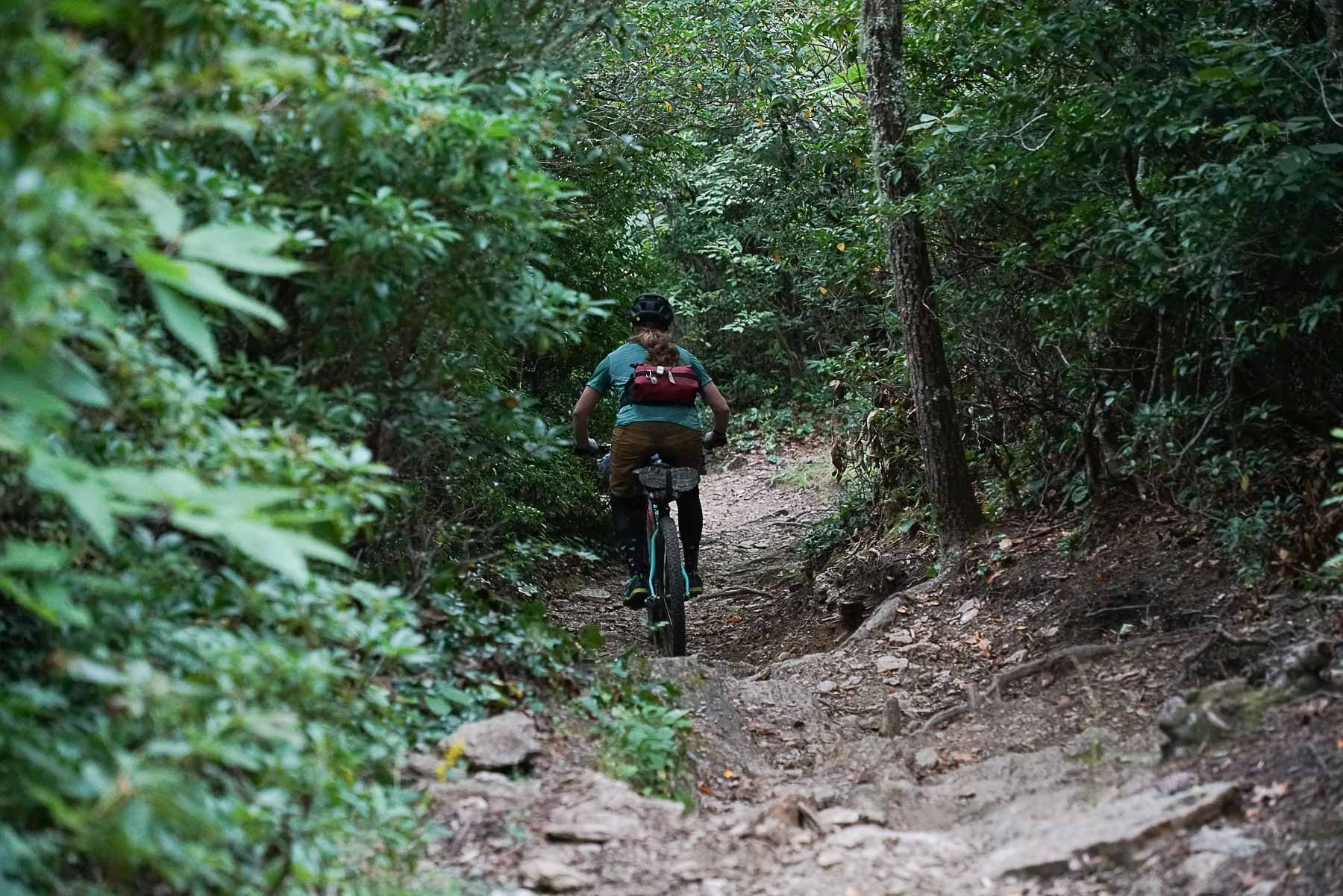
Singletrack (~60%) with gravel climbs (~40%). Preferred bike rank: Hardtail MTB, Full Suspension MTB
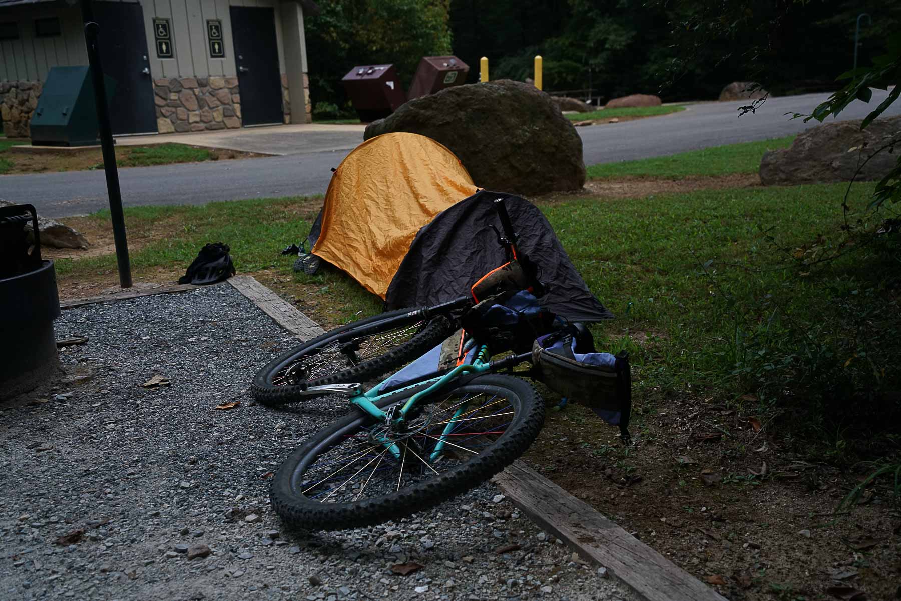
Camping
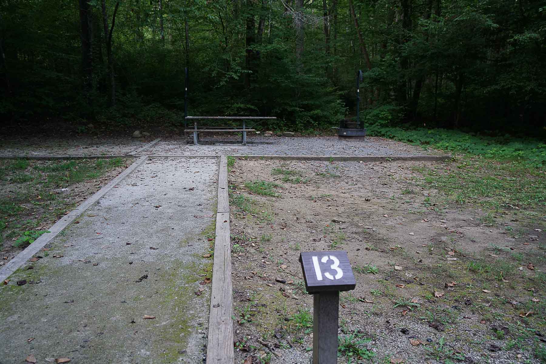
Primitive, backcountry camping (no reservations needed) and established campgrounds for fee with reservations.
Number of Nights / Seasonal Route
1 night ideal. Ridable from Labor Day through Memorial Day (Fall, Winter, & Spring)
Food & Water
Bring water filter and plenty of food as there are no good resupply options. Curtis Creek and Black Mountain campground have water and rest rooms when in-season.
Bikepacking 828's and Heartbreak
828’s & Heartbreak is a singletrack heavy bikepacking trip in the eastern Pisgah National Forest outside Old Fort, NC. Please be aware the route is only ridable from from Labor Day (early Sept.) to Memorial Day (late May). The route uses a seasonal trail; Camp Grier’s Rostan Trail that is only open to public labor day to memorial day.
There’s been a ton of new trail work in this area spearheaded by the G5 Trail Collective. This route starts with three singletrack trails you may never have ridden before; Bernard Mountain Trail, Rostan, and the Gateway Trails (see the full map of proposed trails at the bottom of this page). You’ll find your first camping options on the Curtis Creek climb, a demanding 9 mile, 2,500 ft climb up to the Blue Ridge Parkway. Once at the Parkway you’ll quickly cross and drop into Black Mountain Campground before climbing up to meet the start of Heartbreak Ridge, one of the longest (and soon to be longer!) singletrack descents on the East Coast.
Highlights
- Infamous Heartbreak Ridge singletrack
- New flow trails on the Gateway Trail system
- New singletrack on Bernard Mountain Trail
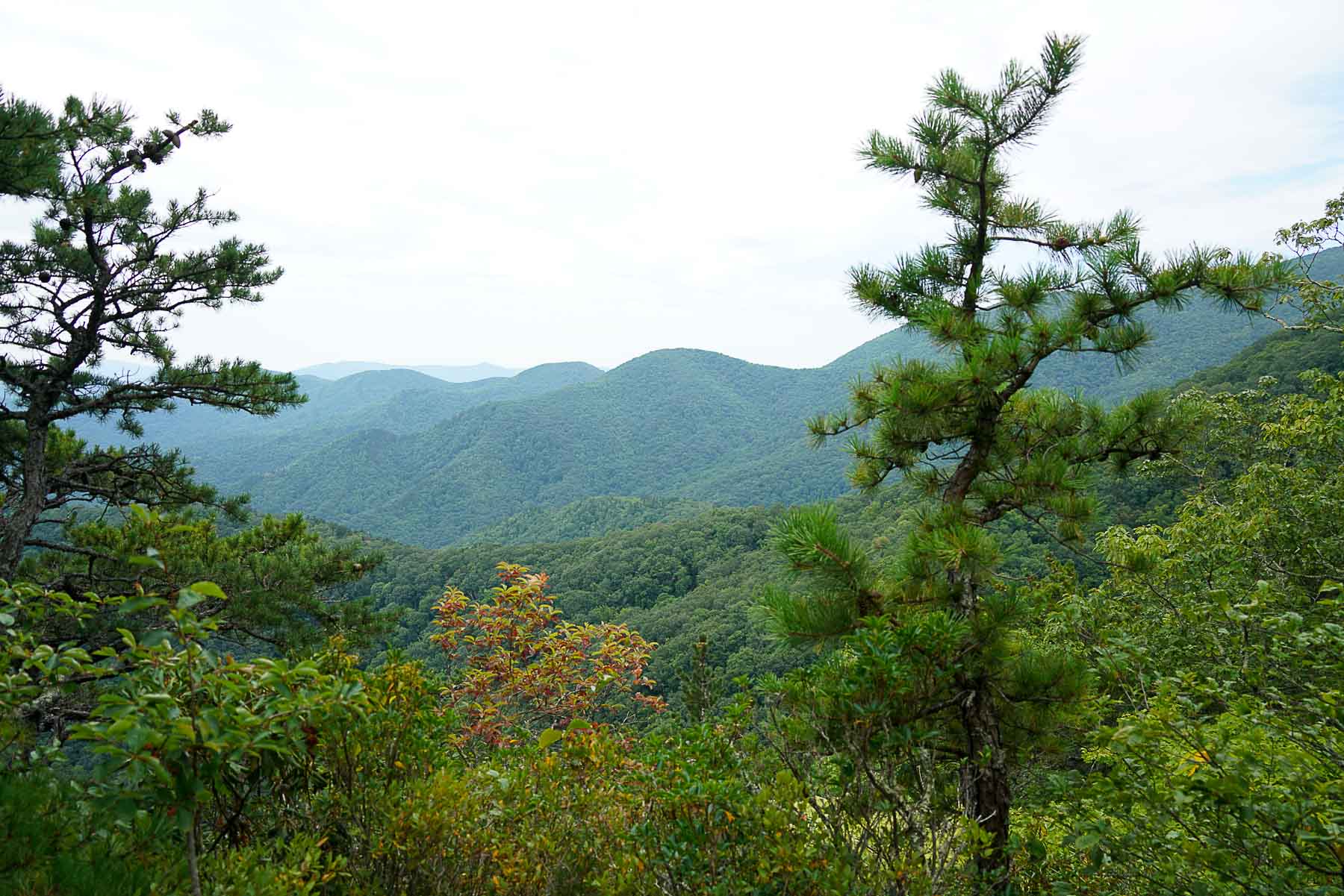
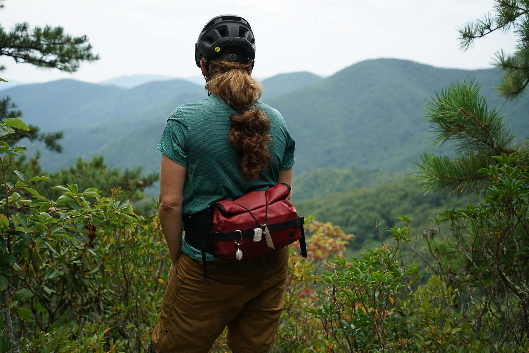
- Blue Ridge Parkway vista
- Mix of established campgrounds or free backcountry camping
Trip Beta
From the Bernard parking area, ride past the gate, up the grassy gravel climb to the start of the Bernard trailhead. Enjoy the views of the surrounding ridges before descending down the brand new switchbacky singletrack. Turn left on the paved Lookout Greenway and follow it out to Mill Creek road. Stay straight on Mill Creek road/Old US 70 W, past the Old Fort picnic area. Very soon, you’ll cross over a concrete bridge. Just a little past the Wolf Creek sign, the Copper Ridge trail will be on the left. It is VERY easy to miss! If you make it to the Copper Ridge Fonta Flora trailhead parking area, you have gone too far. (This trailhead is a branch off of Copper Ridge, so if you do find yourself at the parking area, you can take this trail up to where the trail splits, go left. You’ll soon see Rostan trail on the right and be back on course).
Follow Rostan Trail as is weaves around the Camp Grier property. Be respectful and always stay on the yellow blazed trail, watch out for the electric fence as you pass through the horse pasture. Rostan ends where Salt Gap and Oak Hollow meet at Jarrett Creek Rd. Salt Gap is the more direct, steeper route to Curtis Creek Rd, however, we recommend taking the hard right onto Oak Hollow to enjoy some Gateway Trail goodness! Oak Hollow connects to Forager and these are buttery smooth, swoopy descents to the bottom of the Gateway Trail system. There are pit toilets, but not much else in the Gateway trailhead parking area. Climb up Curtis Creek road to the first camping options.
The camping at Curtis Creek Campground is a great spot if you started the route late after work, however the climb up to the Blue Ridge Parkway should not be underestimated if you’re looking to camp further on. To get to the Black Mountain Campground it’s recommended to get an earlier start so you have plenty of time to make the Curtis Creek climb (about 9 miles and 2,500 ft total).
Once at the top of Curtis Creek, cross over the Blue Ridge Parkway to Neals Creek Rd where you have dispersed camping options along this descent. Keep left to get onto Toe river Rd. Past Black Mountain Campground (showers, water, and toilets) and begin climb back up to the parkway. Add a blinky red light to your back and take a right turn onto the parkway. Take in a view at the overlook, pedal a little further to the left and turn onto heartbreak trail. This is easy to miss; look for the skinny brown trail sign. This section of trail is a mandatory hike-a-bike, as bike riding is not allowed on trails within the boundaries of the Blue Ridge Parkway. Please push your bike up the steep slope until you arrive at the meadow/bear hunting signs.
At the “meadow”, go left to start the descent on Heartbreak, be ready for the trail to turn right and into the chunk. Enjoy the fast descent but dont forget to slow up and catch the vistas. Once at Star Gap stay right. The hardest and steepest drop of the ride is at the bottom of this trail. Use caution and know you and your bike’s limit! After last drop, the trail continues to the left and down to a river crossing. This is a good place to grab some water for the climb up Mill Creek Rd. You’ll cross over train tracks and follow the wide trail out to the road. Take a left onto the pavement. Ride the short distance to Mill Creek road then turn right and climb up to the Bernard Mountain trailhead parking area.
We hope you enjoy! More East Coast overnight routes can be found on our Routes Page.
Additional Information
- Camp Grier’s Rostan Trail is seasonal, only open to the public from Labor Day (early Sept.) to Memorial Day (late May).
- You will find yourself on the Blue Ridge Parkway for a short bit and it’s recommended to have a red blinky light for this section.
- At the start of Heartbreak Ridge, you’ll see a bear hunting sign indicating trail closure in the fall. That is for the trail up hill (Old Toll Rd.) and does not apply to the Heartbreak Ridge Trail.


Map of propsed trails in the Forest around Old Fort, NC (from the G5 Trail Collective and Camp Grier).

Terms: Routes on Rockgeist.com are partial planning resources only, primarily for providing potential locations and initial mapping, and may not cover trail surface and challenge details. Please complete your own research before starting your trip. These routes are often remote and require proper knowledge of safety; including bike repair, bail out options, navigation, and resupply locations. Additionally, because of the remote nature of these locations, you may not have access to wireless or cellphone when onsite. You should also be aware of and prepared for weather and conditions. Users are required to obey all road, land, and trail rules, while practicing Leave No Trace principles. While all routes are diligently prepared and presented, Rockgeist does not guarantee accuracy of routes, trail conditions, or any points of interest detailed herein. It is your intention to fully assume all risks when following these routes. Rockgeist LLC, its collaborators, partners, or volunteers are in no way liable for actions, personal injury, damage to property, or any events that arise directly or indirectly from the routes presented on Rockgeist.com.
0 Comments