THREE THINGS
Great Smokey Mountains, Cataloochee, North Carolina
Developed by Heller, Klontz

Stats
81 miles, 11,340 ft elevation gain, 138 ft/mi. Either direction suggested. Route is provided as clockwise direction.
Difficulty
Challenging due to distance and elevation gain.
Terrain
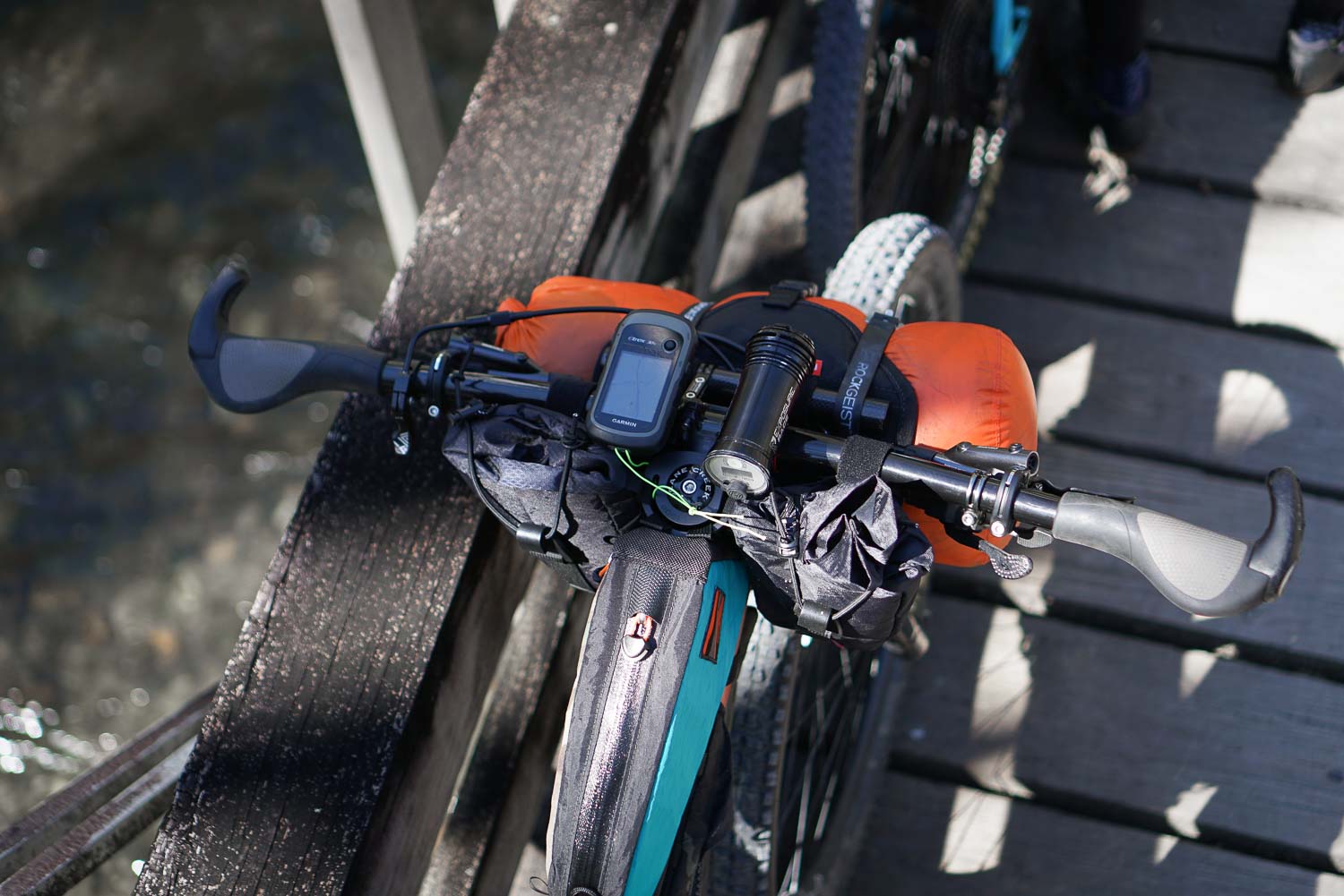
Gravel with paved road connectors. Preferred bike rank: Gravel bike, Rigid MTB, Hardtail.
Camping
Primitive camping at Max Patch with long range views or established campgrounds (reservations encouraged).
Number of Nights
1 night is a big ride with all the elevation gain. 2 nights might be a more realistic option for a slower pace.
Food & Water
Hartford food options on day 1, cafe option day 2. Bring filter for water.
Bikepacking Three Things
Three Things is a gravel loop traversing through the Great Smoky National Park, Cherokee National Forest, and Pisgah National Forest. The majority of miles are gravel roads with a few country paved roads connecting the loop. The route is full of steep climbs and fast descents with ample water sources to filter and two main re-supply locations on route; the town of Hartford, TN and Fines Creek Cafe. Camping options include an established campground at Big Creek or Round Mountain Campground. Dispersed camping is also available in the National Park.
Highlights
- Tough gravel climbs with fast descents
- Panoramic views on Max Patch
- Hartford waterside restaurants
Trip Beta
The route starts at the entrance to the Great Smoky NP with overnight parking (3 or 4 car max) outside the Park’s sign on the left side of the road (when facing the entrance). The first resupply is the Big Creek Country Store about 16 miles in. This can also be an alternative start location with parking at the Big Creek campground or at the Chestnut Branch Trailhead.
Continue on with rolling county-side gravel roads into the town of Hartford where you can grab a river-side meal. The next stop from here is Round Mountain Campground (about mile 45) or push on and climb up to camp at Max Patch. Please walk your bike from the trailhead as this is a hiking only trail to the summit. Dispersed camping is plentiful at the top with panorama mountain views.
After descending from Max Patch you’ll come to Fines Creek Cafe for a second resupply. Continuing on Panther Creek Rd takes you back under the highway to start of the climb back up to your vehicleat the Park entrance.
More East Coast S240 routes can be found on our Routes Page.


4 Comments
Submit a Comment
Terms: Routes on Rockgeist.com are partial planning resources only, primarily for providing potential locations and initial mapping, and may not cover trail surface and challenge details. Please complete your own research before starting your trip. These routes are often remote and require proper knowledge of safety; including bike repair, bail out options, navigation, and resupply locations. Additionally, because of the remote nature of these locations, you may not have access to wireless or cellphone when onsite. You should also be aware of and prepared for weather and conditions. Users are required to obey all road, land, and trail rules, while practicing Leave No Trace principles. While all routes are diligently prepared and presented, Rockgeist does not guarantee accuracy of routes, trail conditions, or any points of interest detailed herein. It is your intention to fully assume all risks when following these routes. Rockgeist LLC, its collaborators, partners, or volunteers are in no way liable for actions, personal injury, damage to property, or any events that arise directly or indirectly from the routes presented on Rockgeist.com.
I thought camping on Max Patch is prohibited.
ah yes you are correct! When we published this route it was allowed and recently they have banned it. thanks for catching that I updated the info. cheers,
greg
Greg, thanks for sharing another great route. Wow…lots of climbing during this S24O adventure! Parking tip: If there are no spots available on the side of the road by the Cataloochee sign (or if you don’t feel comfortable leaving your car on the narrow road) think about doing this: Drive the first 2 miles of the route and at the first intersection turn left onto the pavement and go 2 tenths of a mile to a large parking lot at an overlook.
Thanks for the tip Cheryl! I’ll add it on the map.