WEST OUACHITA
Ouachita National Forest, AR
Developed by Rockgeist Bikepack USA

Stats
62 miles, 6,128 ft elevation gain, 99 ft/mi. Recommended clockwise as shown.
Difficulty
Challenging due to distance, technical/rocky Ouachita Trail, water crossing, and remote parts.
Terrain
Singletrack with gravel bailout options. Preferred bike rank: Full Suspension, Hardtail.
Camping
Primitive, backcountry camping (no reservations needed) and possible use of shelters to leave tent at home.
Number of Nights
1 night ideal, 2 nights for a slower pace (no good re-supply for second night)
Food & Water
Bring water filter and plenty of food as there is very meager resupply optons on day 2 (cash only)
Bikepacking West Ouachita
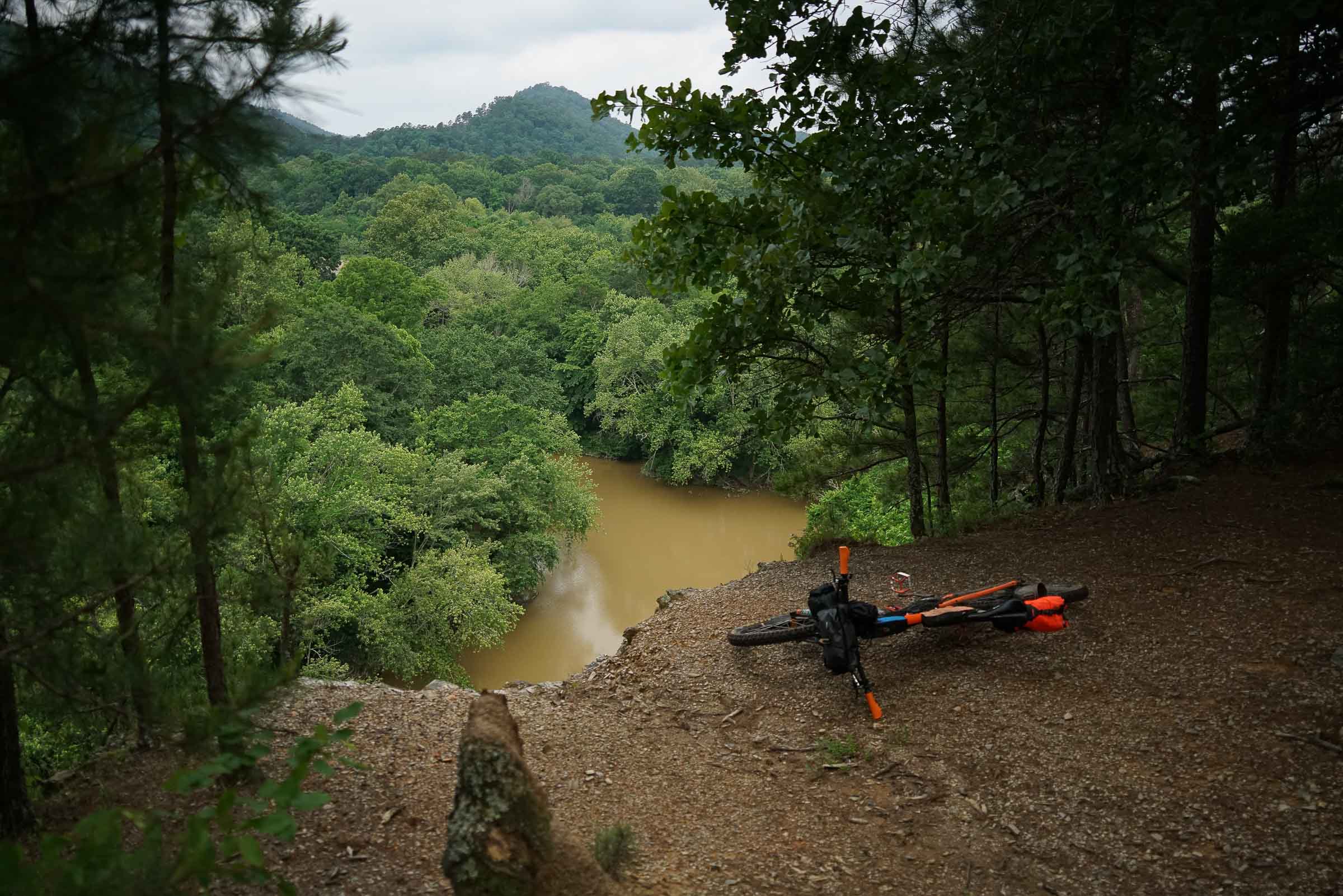
The star of this overnight route is the challenging, remote singletrack of the Western portion of the Ouachita (waa·shee·tuh) National Recration Trail. The Ouachita Trail boasts some of the best downhills in Arkansas with rugged, rocky climbs and descents while offering shelters along the way for a solid night’s rest. After the Ouachita tests your resolve, bail off onto the IMBA Epic Womble singletrack where you’ll enjoy smooth cross-country singletrack along river bluffs back to the start.
Highlights
- Rough and remote singletrack
- IMBA Epic Womble Trail
- Shelter Camping (no tent needed)
- Singletrack along bluffs, river vistas
Trip Beta
While Arkansas is making a name for its gravel riding, don’t overlook the singletrack of the Ouachita Trail. The starting point of this route sets you up for a big first day on the Ouachita. While “only” 22 miles, these miles come right out the gate and will take a solid day’s riding for even the most fit and patient bikepackers. Expect loose rock, chunky climbs, sections of hike-a-bike, and few water options.
You can leave the tent at home if using the hiking shelters off the Ouachita, which is nice as you’ll need to trade that tent space for extra calories. The lone resupply on route is a meager cash only “general store” near the end.
If you’re looking to bail off the Ouachita for any reason, there are a few spots to drop onto gravel fire roads that can link up to the Womble trail on the East side of the large mouth of the Ouachita River. The Womble trails is a nice respite from the technical singletrack of day 1 and is smooth sailing along river bluff and stream drainages into the small town of Oden.
Once in Oden you have country pavement leading back to gravel. Save some energy to out pedal a small gang of yappy dogs before you get to a river crossing that might be washed out. With low water it can be ridable, but after rain you may need to shoulder the bike and walk across.
More East Coast overnight routes can be found on our Routes Page.
Additional Information
Be aware of ticks. Parts of the Ouachita Trail may be overgrown in summer months and this area has a high population of the Lone Star Tick. While Lime disease is a low risk, incidence of Rocky Mountain Spotted Fever is one of the more common tick-transmitted illnesses in this area.
It’s best practice to check your legs often throughout the day and wear light socks to more easily spot them. I rode this route in June and wore my white sun sleeves on my legs tucked into my socks and bib. This made it easy to flick them off and I made it unscathed. It’s probably best to ride this in late fall, winter, or early spring and to stay on the trail.


Terms: Routes on Rockgeist.com are partial planning resources only, primarily for providing potential locations and initial mapping, and may not cover trail surface and challenge details. Please complete your own research before starting your trip. These routes are often remote and require proper knowledge of safety; including bike repair, bail out options, navigation, and resupply locations. Additionally, because of the remote nature of these locations, you may not have access to wireless or cellphone when onsite. You should also be aware of and prepared for weather and conditions. Users are required to obey all road, land, and trail rules, while practicing Leave No Trace principles. While all routes are diligently prepared and presented, Rockgeist does not guarantee accuracy of routes, trail conditions, or any points of interest detailed herein. It is your intention to fully assume all risks when following these routes. Rockgeist LLC, its collaborators, partners, or volunteers are in no way liable for actions, personal injury, damage to property, or any events that arise directly or indirectly from the routes presented on Rockgeist.com.
0 Comments