SLIGHT CHANCE OF PISGAH
Trace Ridge Trailhead, Pisgah National Forest, North Carolina
Developed by Rockgeist Bikepack USA

Stats
23 miles, 3,513 ft elevation gain, 151 ft/mi. Clockwise direction suggested.
Difficulty
Challenging due to technical climbing, elevation gain, and sections of hike-a-bike.
Terrain
Singletrack, double track, gravel. Preferred bike rank: Full Suspension, Hardtail, Rigid MTB.
Camping
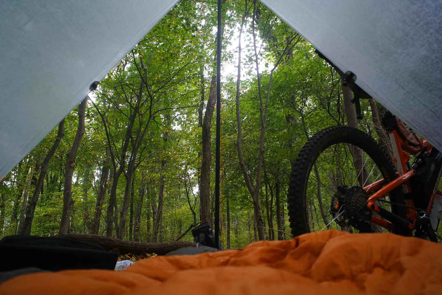
Primitive, backcountry camping (no reservations needed) with views on Laurel Mountain or creekside at Big Creek.
Number of Nights
1 night ideal.
Food & Water
Seasonal resupply options on day 1 at Mt. Pisgah Inn. Plenty of water to filter.
Bikepacking Slight Chance of Pisgah
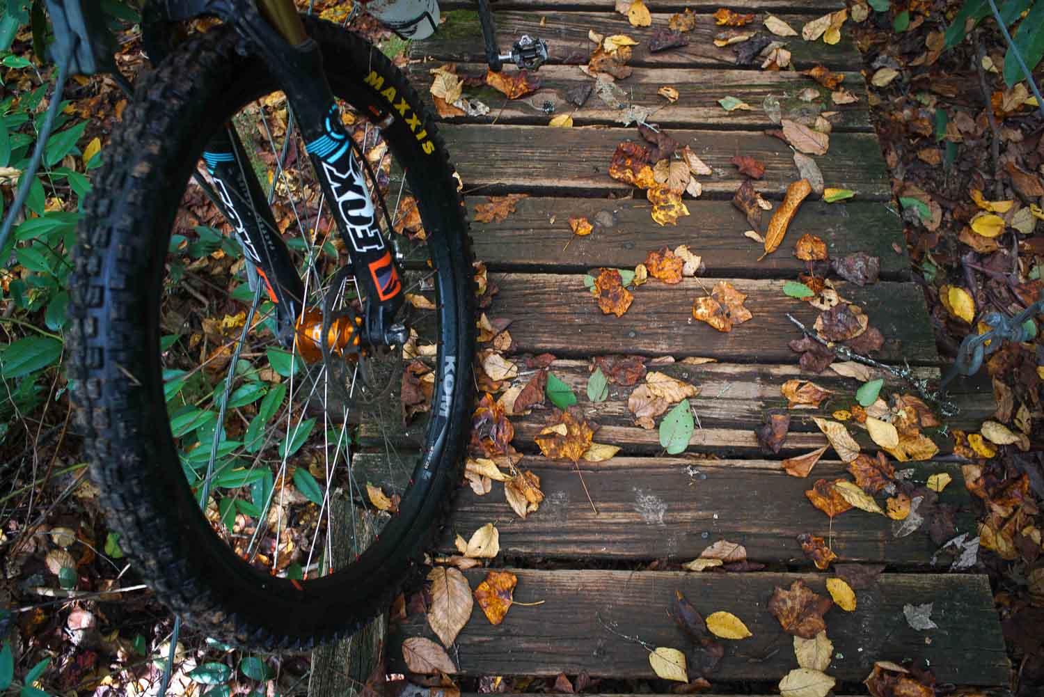
Slight Chance of Pisgah is a short but steep and technical route. It contains wet water crossings, vistas, rough singletrack, and sections of hike-a-bike. There is also potential for a seasonal stop at the Pisgah Inn. Major trails include Laurel Mountain and Big Creek. Please dismount and walk your bike during the Blue Segment near the parkway. Primitive campsites off the trail are free and most have a fire ring/pit.
Highlights
- Remote singletrack
- Pisgah Inn
- Primitive Camp Sites
- Creek camping and wet water crossings
Trip Beta
The route starts off with a fast descent from the trailhead down to the river. This leads to a few water crossings before climbing up to a gravel descent onto Yellow Gap road. From here you will ride up to the Laurel Mountain trail head, which goes up all the way to the Blue Ridge Parkway. The climb up Laurel Mountain can mostly be ridden with strong legs and with a few sections of hike-a-bike. There are many excellent campsites along the Laurel Mountain. Please walk the blue segment for the last bit to the parkways as this is a hiking trail only. Once at the parkway feel free to ride up to the Inn for food if its open before ducking back into the Forest for the Big Creek descent. This is an ideal descent to test your gear on fast, technical roots and rocks. There is also great camping at the bottom along Big Creek. A few water crossings will then lead to a gravel climb back up to Trace Ridge.
More East Coast S240 routes can be found on our Routes Page.


4 Comments
Submit a Comment
Terms: Routes on Rockgeist.com are partial planning resources only, primarily for providing potential locations and initial mapping, and may not cover trail surface and challenge details. Please complete your own research before starting your trip. These routes are often remote and require proper knowledge of safety; including bike repair, bail out options, navigation, and resupply locations. Additionally, because of the remote nature of these locations, you may not have access to wireless or cellphone when onsite. You should also be aware of and prepared for weather and conditions. Users are required to obey all road, land, and trail rules, while practicing Leave No Trace principles. While all routes are diligently prepared and presented, Rockgeist does not guarantee accuracy of routes, trail conditions, or any points of interest detailed herein. It is your intention to fully assume all risks when following these routes. Rockgeist LLC, its collaborators, partners, or volunteers are in no way liable for actions, personal injury, damage to property, or any events that arise directly or indirectly from the routes presented on Rockgeist.com.
I just did this route and man it was really tough for me. I am 46 and not in the best of shape and did a lot of hike a bike to get thru it. What an adventure!
Thanks for giving this a roll and hope your enjoyed it! Yeah it’s lots of elevation, 150 ft/mile is a lot of work! Roll call has more gradual climbing but it’s a bit longer.
Im going to check this out, thanks! A recommendayion if you’re ever in Middle TN, Big South Fork is a great spot for bikepacking. A fair amount of singletrack and gravel roads and you can extend it into Kentucky using the Sheltowee Trace or other routes in the Daniel Boone NF.
Excellent, thanks for the tip. We will definitely check that out!
Happy exploring,
Greg