
Stats
53 miles, 3,900 ft elevation gain, 116ft/mi. 33.4 mi on land, 19.3 mi on water. Counter-Clockwise direction required
Difficulty
Intermediate due to mix of terrain, short sections of hike-a-bike, and challenges of bikerafting.
Terrain
Gravel with pavement and singletrack connectors, and a 19-mile section of Class I paddling on the French Broad River. Preferred bike rank: Rigid MTB, Gravel Bike, Hardtail.
Camping
Primitive, backcountry camping (no reservations needed) with established river camping requiring reservations.
Number of Nights
2 nights ideal due to slow river flow or 1 night if you get an early start and don’t dilly dally.
Food & Water
Resupply options in Etowah and Seirra Nevada (if lower park is open). Bring water filter.
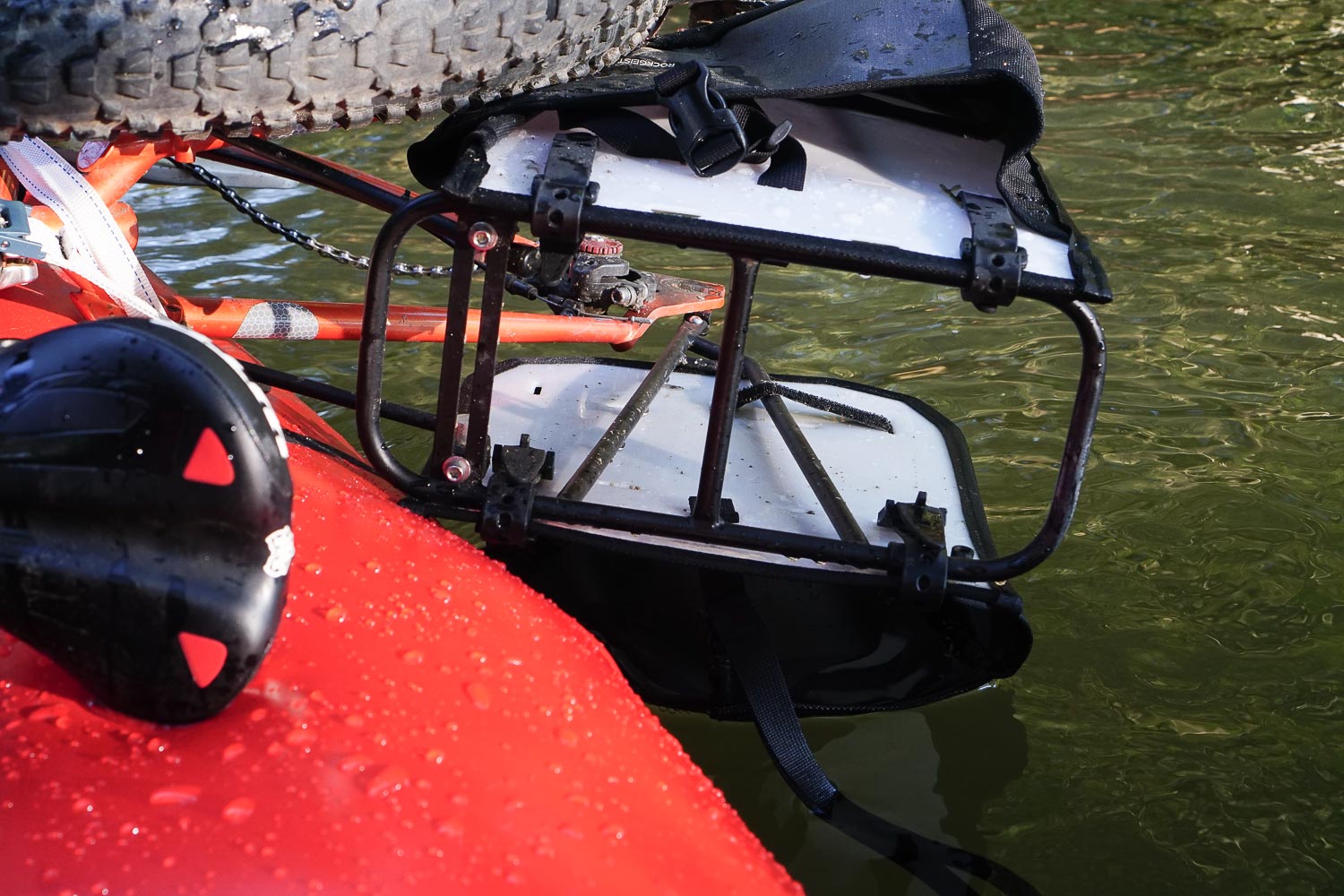
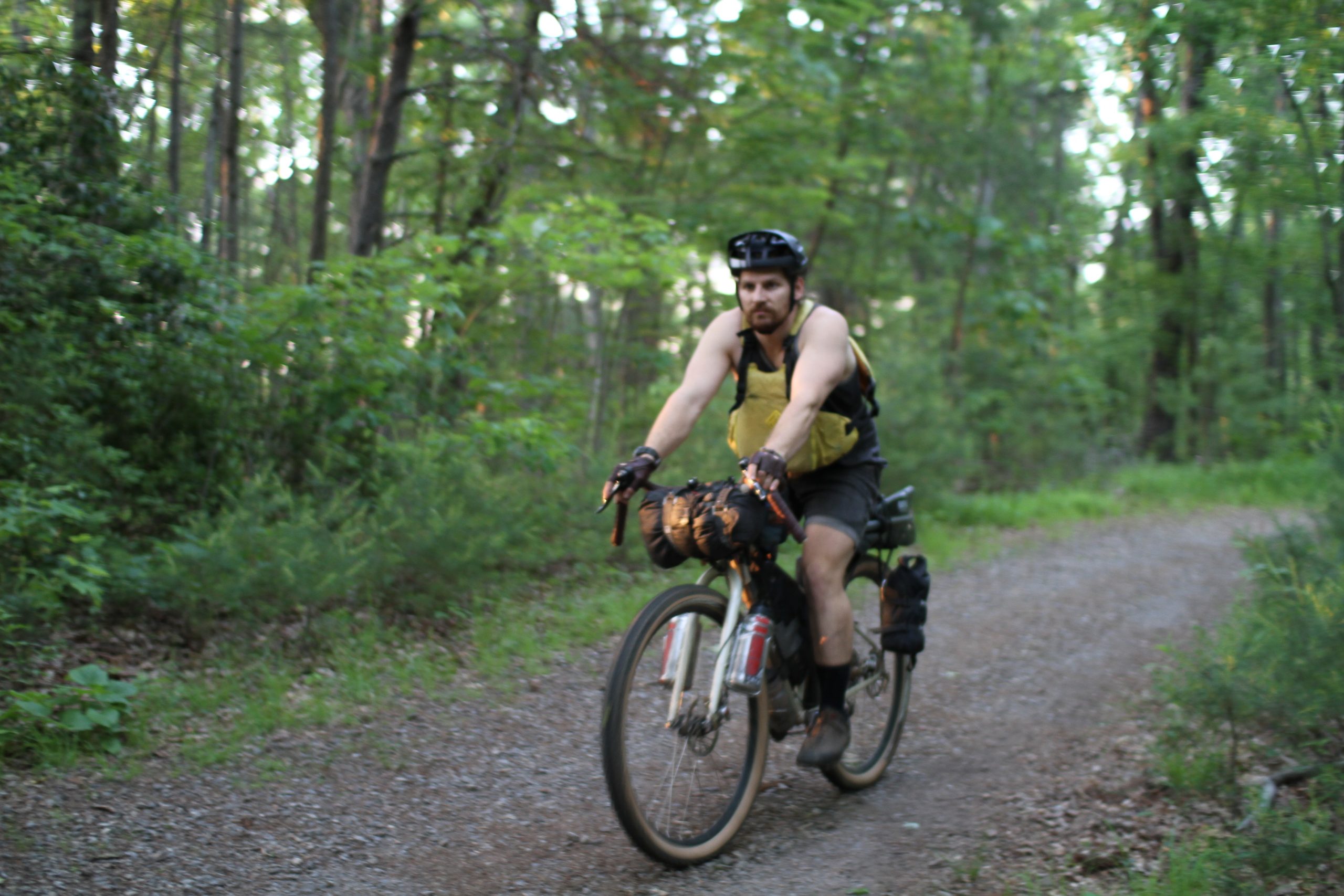
Bikerafting the Pisgah Paddler
Pisgah Paddler is a beginner-friendly bikerafting loop consisting of a ride through Pisgah National Forest and a float along the French Broad River. Ideal for a 1, 2, or 3 night ride with camping options both off trail and off river. The mostly-gravel route contains steep climbs, winding descents, minor fords, a short hike-a-bike, singletrack, two breweries, and a short ride through the town of Etowah. Paddle-in only campsites are available along the French Broad River Paddle Trail, and plenty of dispersed camping can be found throughout Pisgah National Forest. The packrafting section of this route is primarily flat water, perfect for gaining experience.
Highlights
- Relaxing and remote stretches of the French Broad
- Sideways Farm & Brewery
- Karolina Kremes ice cream stand
- Ospreys, Mallards, Herons, and Bald Eagles
- Riverside paddle-in-only camping
- Sierra Nevada’s Lower Park
Trip Beta
Overnight parking is available at multiple spots along Wash Creek road in Mills River. If a flat water shakedown is needed, the Hendersonville Reservoir is just a 2 mile ride down from the Trace Ridge trailhead.
The first section follows Yellow Gap Road through Mills River Campground, to the beginning of Bradley Creek Road. Be sure to fill up your water at one of the springs along Queen Creek Mountain before beginning the descent.
Enjoy a little single-track and hike-a-bike before the final ford across Mills River to Turkey Pen Gap trailhead. The ride down Turkey Pen Road to Bolston Highway 280 is the last chance to fill up on creek water for the float ahead. Take Brickyard Road into the town of Etowah and swing by Sideways Farm and Brewing. Other resupply options include Dave’s Dogs, Karolina Kremes, El Bronco Mexican, Blue Ridge Pizza, and Ingles. It’s about one mile from Ingles to the Horse Shoe River Bend Access.
Expect the nine mile paddle from put-in to Mud Creek Campsite to take about three hours depending on river flow. Despite it’s lazy nature, this section of the French Broad has enough sweepers and strainers to warrant attention throughout the float.
From Mud Creek it’s 4.5 miles to Sierra Nevada Brewing’s Lower Park, accessible from the river, and equipped with with their Taproom food truck and beer trailer. Lower Park is not always open, so confirm before heading out. Depending on water levels, expect some Class 1 rapids as the takeout at Bent Creek River Park approaches.
Continue by bike up the Blue Ridge Parkway before dropping into Bent Creek for some smooth rolling gravel. A quick detour through the North Carolina Arboretum can make for a great lunch stop, admission is free. The route finishes with a climb up Bent Creek Road, under the Blue Ridge Parkway, and one final grin-inducing descent down Wash Creek Road.
Camping
Campsite reservations are required Mud Creek and Firefighter Island at a cost of $10 per person. Firefighter Island is closer to the take out at mile 39. Reservations and other information are available on the French Broad River Paddle Trail website.
If you’re planning on moving at a more relaxed pace, the trip can be split up into multiple nights. There is great camping on South Mills River before you climb up to the Turkey Pen trail head and into Etowah and then two campsite options on the French Broad if you wanted to split up the float into two nights.


Terms: Routes on Rockgeist.com are partial planning resources only, primarily for providing potential locations and initial mapping, and may not cover trail surface and challenge details. Please complete your own research before starting your trip. These routes are often remote and require proper knowledge of safety; including bike repair, bail out options, navigation, and resupply locations. Additionally, because of the remote nature of these locations, you may not have access to wireless or cellphone when onsite. You should also be aware of and prepared for weather and conditions. Users are required to obey all road, land, and trail rules, while practicing Leave No Trace principles. While all routes are diligently prepared and presented, Rockgeist does not guarantee accuracy of routes, trail conditions, or any points of interest detailed herein. It is your intention to fully assume all risks when following these routes. Rockgeist LLC, its collaborators, partners, or volunteers are in no way liable for actions, personal injury, damage to property, or any events that arise directly or indirectly from the routes presented on Rockgeist.com.
0 Comments